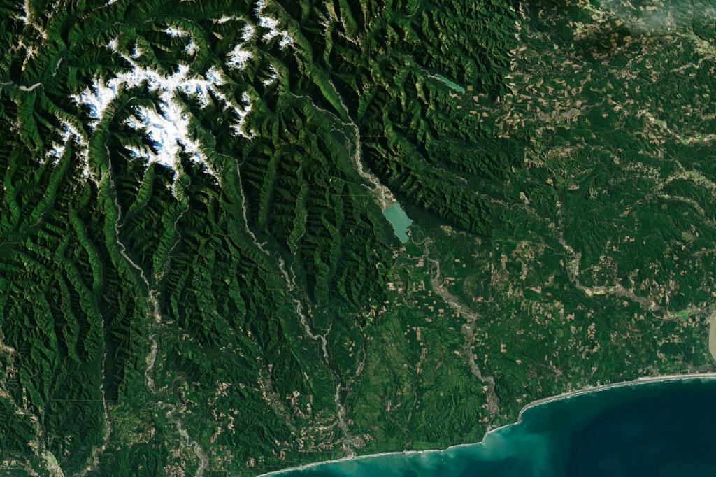
A Bird’s-Eye Start: Why Drones Matter in Forests
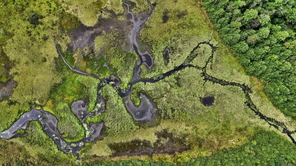
From treetop lichens to hidden stream sediment plumes, drones reveal subtle patterns of stress and recovery across vast landscapes. Their nimble vantage reduces disturbance, accelerates surveys, and empowers teams to act faster and smarter.
A Bird’s-Eye Start: Why Drones Matter in Forests
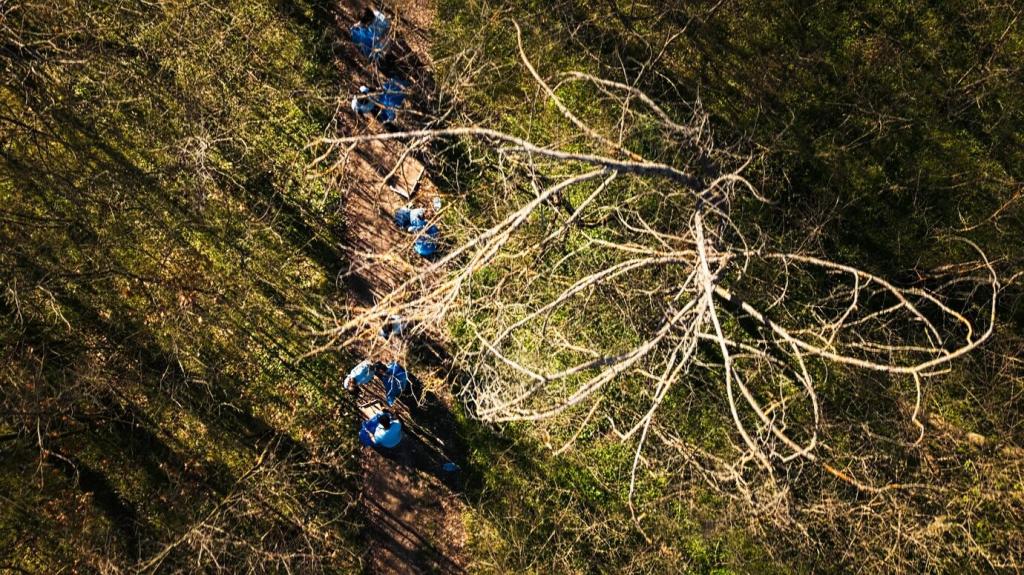
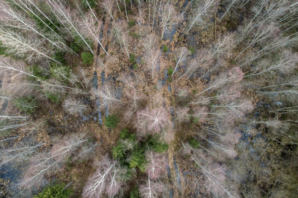
Steep ravines, swampy flats, and storm-damaged corridors risk human safety and budgets. Drone overflights slash travel time, limit exposure to hazards, and deliver high-resolution evidence that guides targeted, cost-effective conservation decisions on the ground.
A Bird’s-Eye Start: Why Drones Matter in Forests
At dawn in a misty pine reserve, a short flight mapped beetle-killed clusters invisible from trails. Rangers redirected crews that same afternoon, saving trees and documenting the intervention with crisp, actionable imagery for partners.