Today’s chosen theme is “Drones in Reforestation: Planting the Future.” Join us as we explore how aerial technology, smart seeds, and community action accelerate forest recovery with care, precision, and hope.
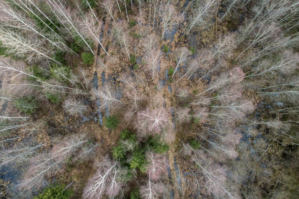
Speed at Landscape Scale
Aerial planting enables teams to cover vast, rugged terrain in hours instead of weeks, placing seed pods exactly where they are most likely to survive and thrive long term.
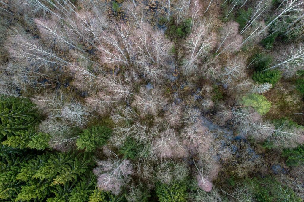
Steep slopes, wetlands, and post-fire zones often challenge traditional crews. Drones navigate safely above hazards, delivering restoration to places that once felt unreachable or prohibitively expensive.
High-resolution imagery and terrain models reveal moisture patterns, erosion risks, and canopy gaps. Algorithms recommend species mixes and planting densities tailored to each microhabitat’s recovery potential.
Seed Pods with a Purpose
Biodegradable pods protect seeds from birds and heat. They can carry nutrients and microbial inoculants, boosting early root vigor while gently dissolving into the soil as seedlings establish.
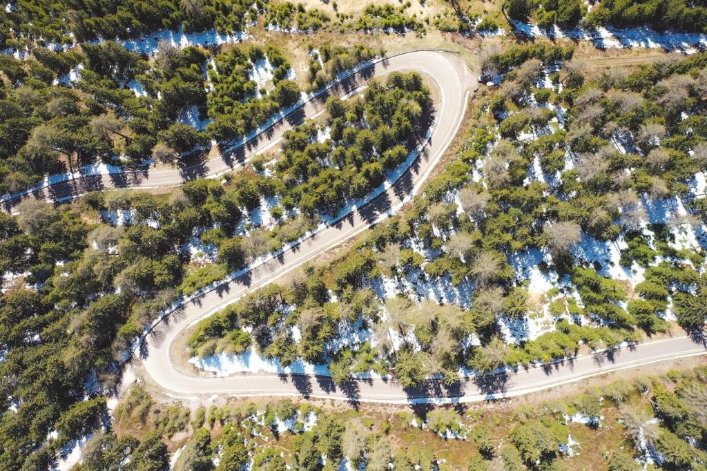
Flight Planning and Swarm Coordination
Autonomous routes avoid obstacles and optimize altitude, speed, and spacing. Multiple drones work in synchronized swarms, sustaining consistent seed delivery without tiring crews or compromising safety guidelines.
Community at the Controls
01
Training Drone Rangers
Local technicians learn airspace rules, maintenance, and habitat mapping. Certifications open careers while keeping skills rooted in the community that knows the landscape best.
02
Centering Indigenous Stewardship
Collaborations honor cultural fire practices, seed saving, and seasonal rhythms. Drone routes respect sacred sites, while planting plans uphold ancestral knowledge of water, wind, and wildlife corridors.
03
Youth Engagement that Lasts
Workshops turn curiosity into action. Students code flight paths, build seed pods, and document wildlife returns—then bring their families back to witness the saplings growing taller each season.
Measuring Impact Without Greenwashing
Survival rates, species diversity, soil stability, and canopy cover tell the real story. Combining drone imagery with field plots yields honest insights about progress and needed course corrections.
Measuring Impact Without Greenwashing
Carbon counts matter, but biodiversity, water retention, and livelihoods matter too. Balanced indicators prevent shortcuts and celebrate the full value of healthy, living forests.
Your Role in Planting the Future
Share Local Landscape Clues
Upload photos of erosion gullies, springs, or invasive outbreaks. Your observations guide drone routes and species choices, making every mission smarter and more responsive to real conditions.
Help gather native seeds under permits, or record elders’ memories of seasonal blooms. These contributions shape seed banks and inspire planting plans grounded in place-based wisdom.
Subscribe to follow field updates, comment with questions, and vote on next mission priorities. Your feedback directs resources toward sites and species that mean the most to our community.