Why Drones Are Transforming Forest Protection
High‑resolution imagery captured at low altitude shrinks detection timelines from months to hours, revealing clandestine clearings before satellite passes update. Faster awareness means earlier intervention, fewer trees lost, and better accountability for illegal operators working under canopy cover.
Why Drones Are Transforming Forest Protection
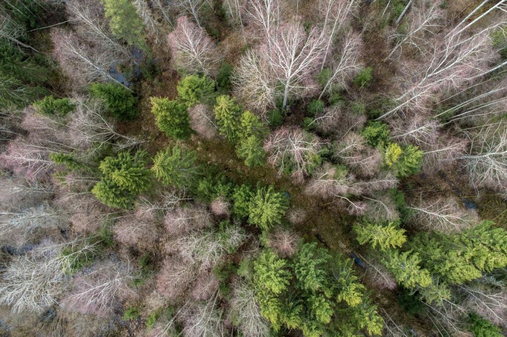
Multispectral bands reveal plant stress weeks before visible canopy thinning. By measuring reflectance in red‑edge and near‑infrared, drones flag subtle physiological changes hinting at encroachment, logging road preparation, or drought vulnerabilities along margins, concessions, and supposedly protected buffer zones.