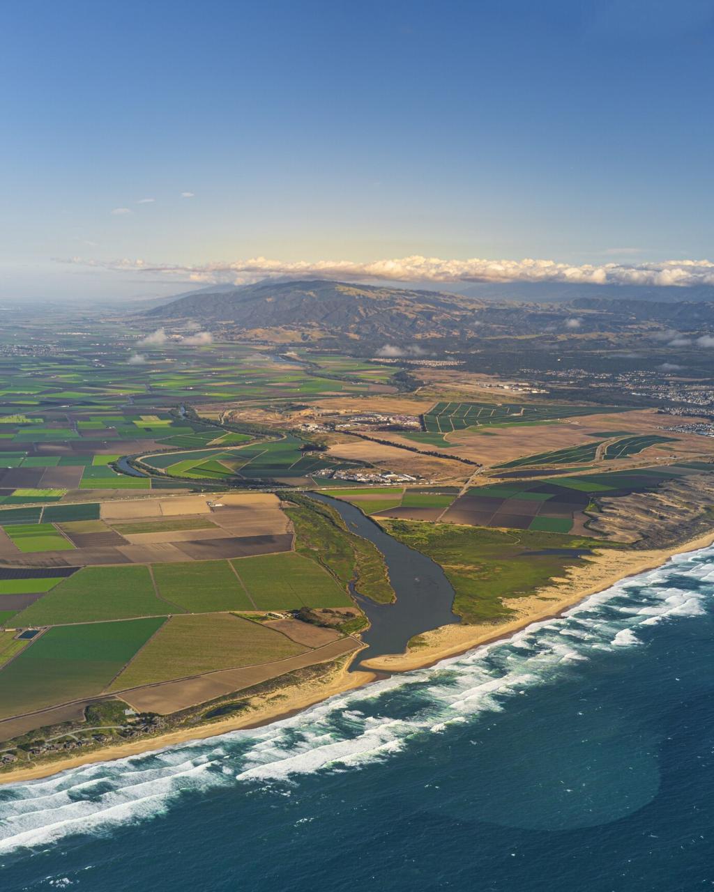
Forest Fire Prevention and Management with Drones
Chosen theme: Forest Fire Prevention and Management with Drones. From spotting hidden embers at night to guiding crews with live maps, drones are transforming safety, speed, and strategy. Explore practical tools, field stories, and ethical insights—and subscribe to stay ahead of the next fire season.

Sensors That See What Smoke Hides
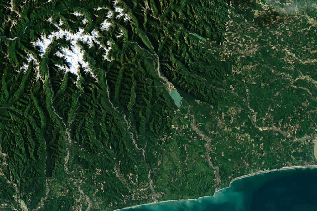
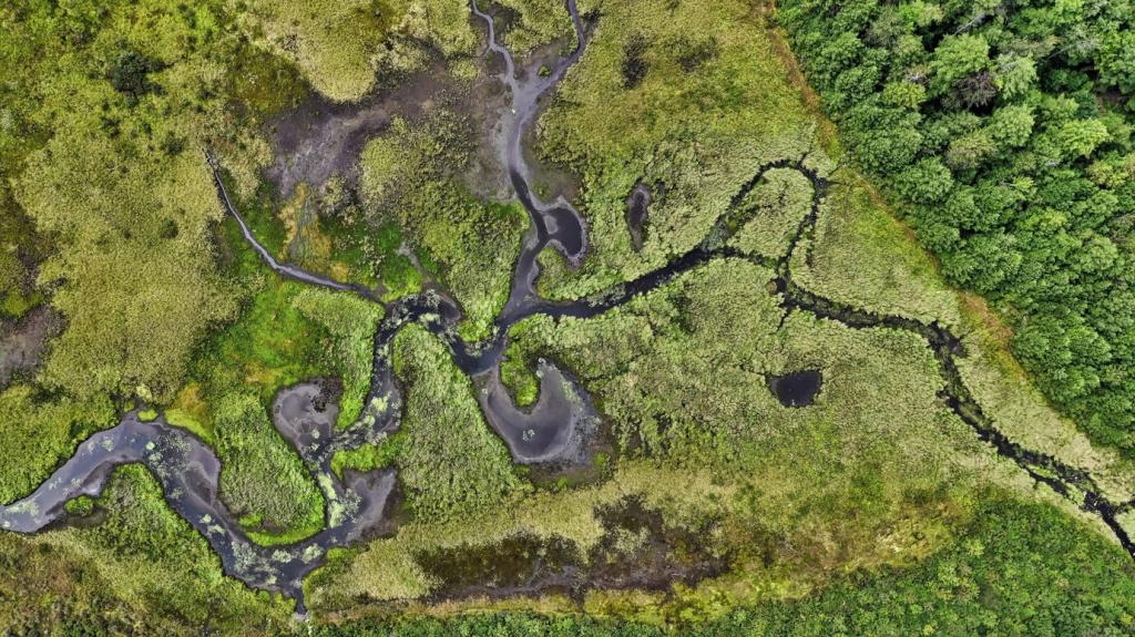
Radiometric thermal cameras pinpoint temperature differences to track fire edges and buried embers. Multispectral bands help classify stressed vegetation and dry fuels. Together, they map risk before ignition and confirm cold zones after crews declare a line contained.
Sensors That See What Smoke Hides
Lightweight sensors measure carbon monoxide, volatile organic compounds, and particulate density through smoke. These readings guide crew positioning, predict plume behavior, and protect public health advisories. Data layers integrate with weather models to forecast the safest windows for action.
Airspace, TFRs, and Deconfliction
Temporary Flight Restrictions exist to safeguard tankers, helicopters, and crewed aircraft. Drone pilots coordinate through incident command and air attack, announce positions, and follow designated altitudes. Clear deconfliction prevents midair hazards and preserves crucial water and retardant drops.
Crew Coordination within ICS
Integrating flights into the Incident Command System aligns drone tasks with objectives. Pilots brief divisions, log sorties, and deliver products on schedule. Standard naming, timestamps, and map symbology ensure everyone reads the same picture and acts in concert.
Community Preparedness from the Sky
Defensible Space Mapping for Homeowners
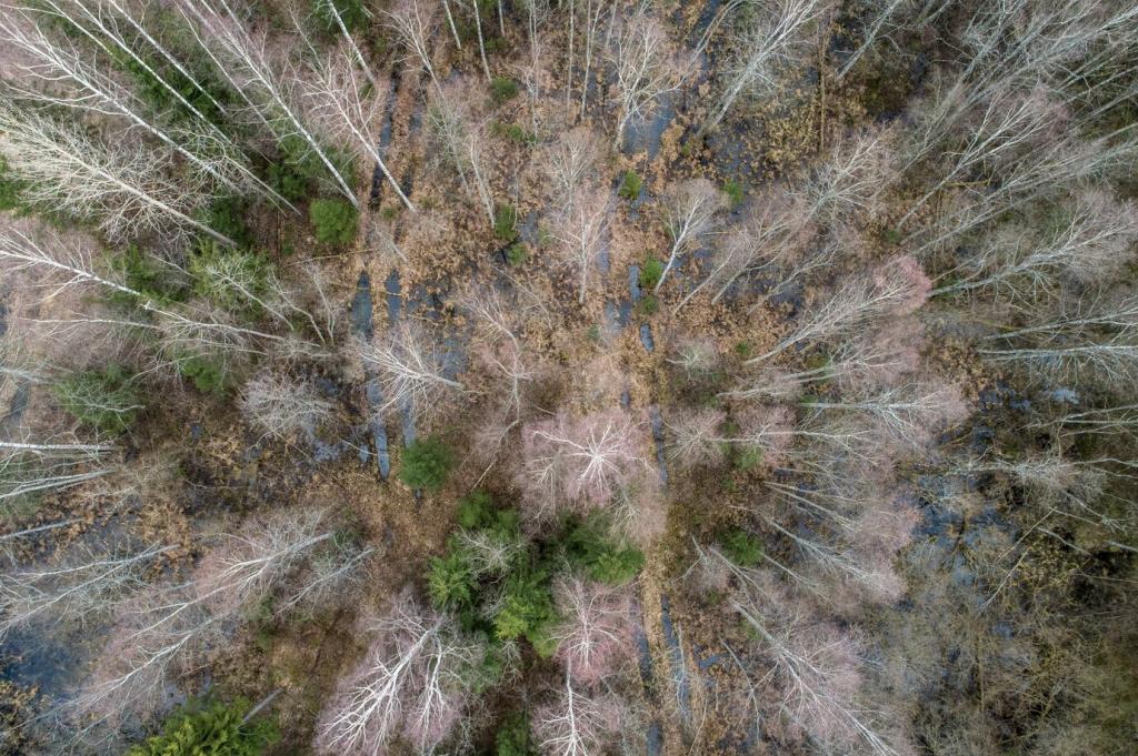
Low-altitude mapping shows ladder fuels, roof debris, and woodpiles near siding. Color-coded buffers teach residents where to prune, clear, and harden. Turning abstract advice into vivid imagery motivates real weekend projects that measurably reduce ignition risk.
Evacuation Route Reconnaissance
Flight footage reveals choke points, single-lane bottlenecks, and overhanging branches that could trap evacuees. Agencies simulate exits at different traffic volumes and fire directions, then prioritize tree work and signage. Community drills become smarter, faster, and more inclusive.
Volunteer Training and Data Literacy
Civic groups learn to capture consistent imagery, tag findings, and upload to shared maps. Simple workflows keep efforts reliable and safe. Residents become partners in prevention, turning local knowledge into actionable layers for emergency managers and neighbors alike.
Stories from the Line: Drones That Made the Difference
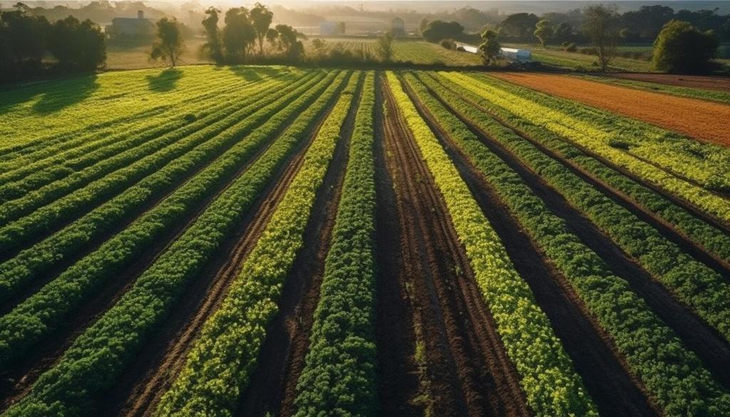
After dry lightning, a crew launched a thermal-equipped quadcopter over rolling vines. It found two smoldering stumps beyond the ridge. Engines navigated by drone lights, soaked hotspots, and prevented a wind-driven run that would have threatened hundreds of acres.

This is the heading
Lorem ipsum dolor sit amet, consectetur adipiscing elit. Ut elit tellus, luctus nec ullamcorper mattis, pulvinar dapibus leo.

This is the heading
Lorem ipsum dolor sit amet, consectetur adipiscing elit. Ut elit tellus, luctus nec ullamcorper mattis, pulvinar dapibus leo.
Building and Scaling Your Drone Wildfire Program
Pilots pursue legal credentials, night authorizations, and, where applicable, BVLOS waivers. Routine proficiency checks, scenario drills, and cross-training with engine crews sharpen skills. Standardized curricula turn individual talent into a reliable, scalable capability during peak fire months.
